 | 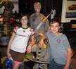 |  | 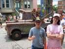 | 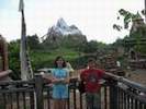 | 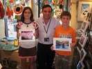 |  |  |
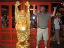
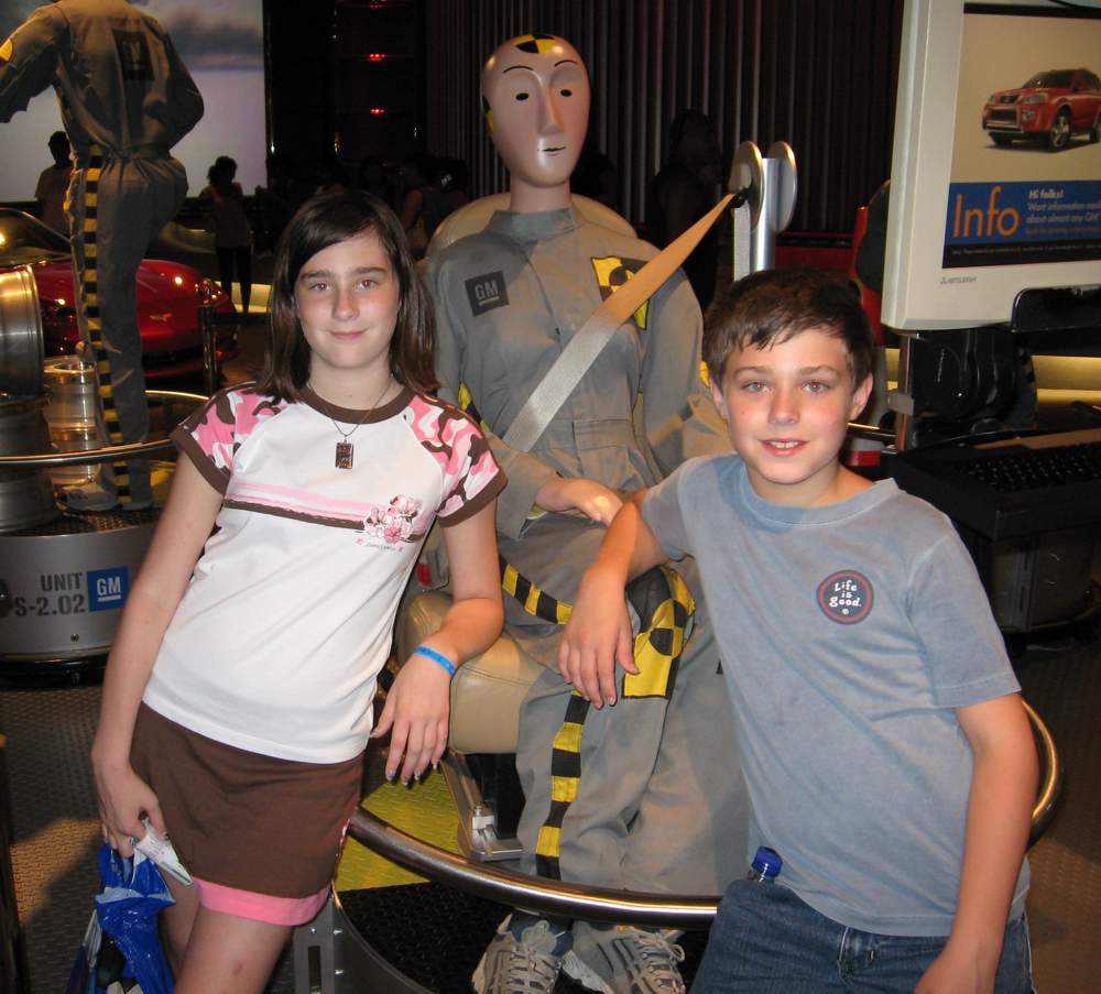
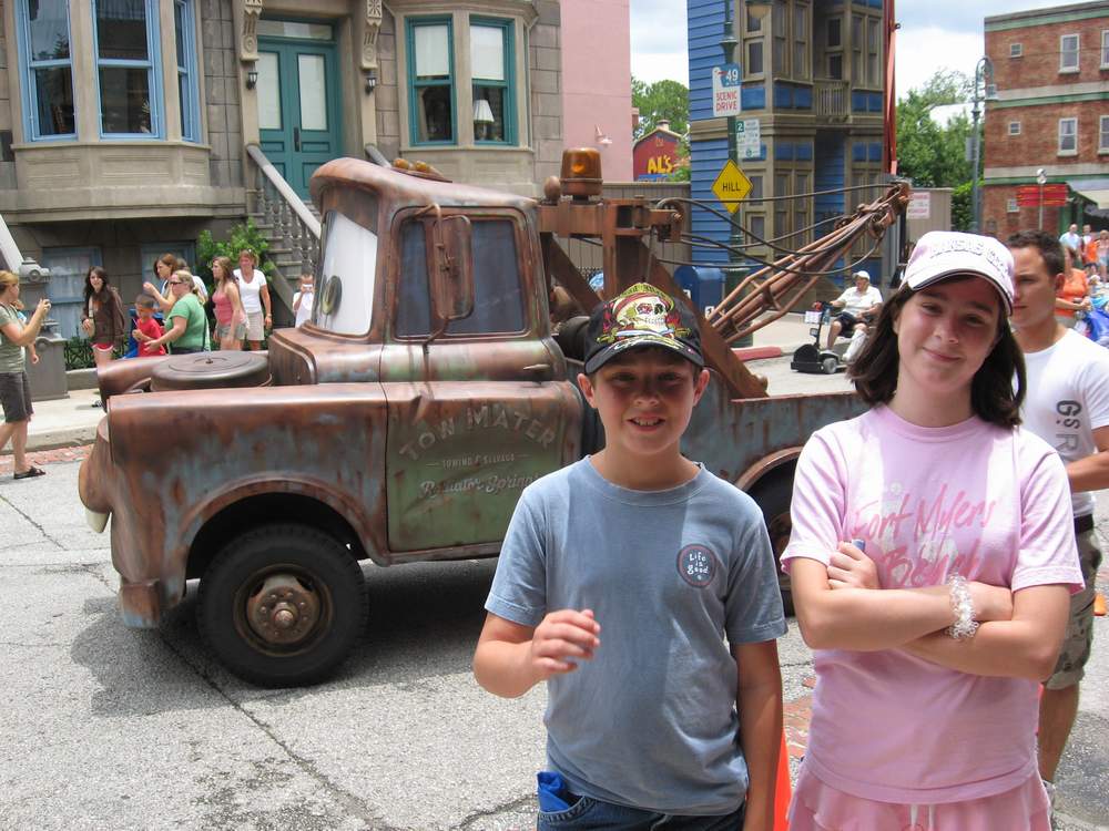
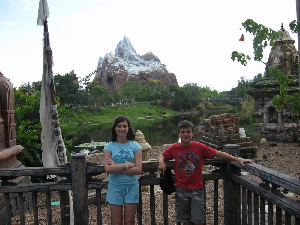
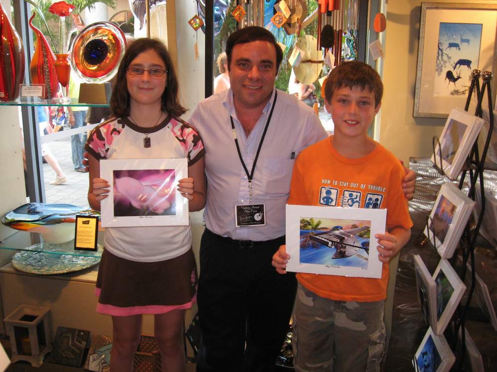
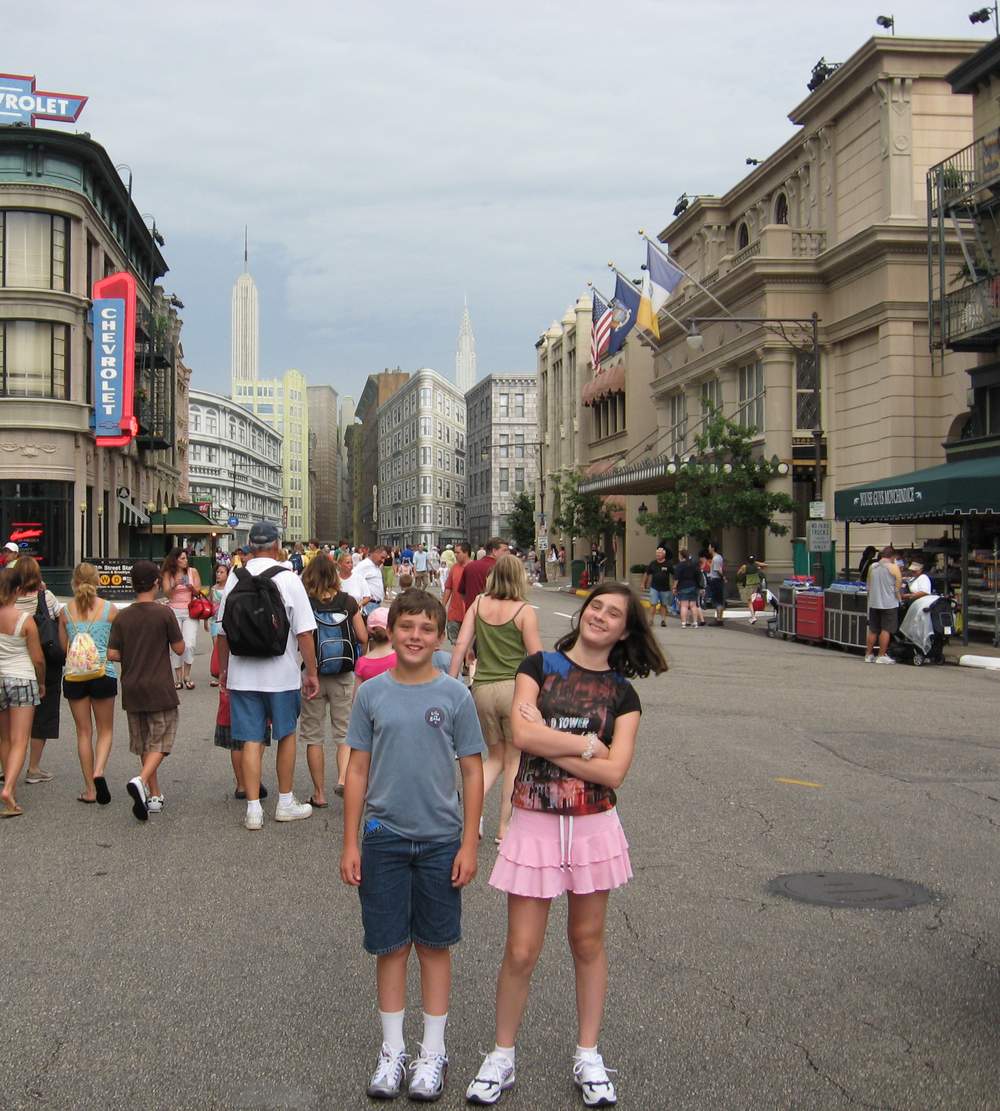
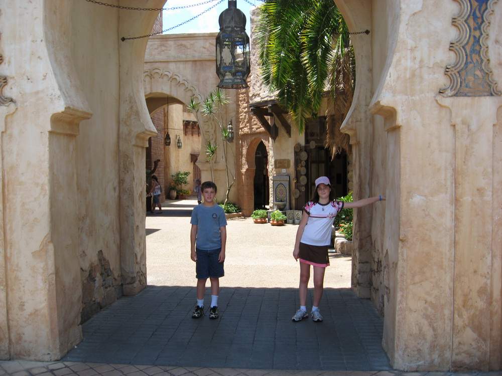
| "What we think, we become." Apparently, I was thinking about fat guys. | Disney World, 2007. That's me in the middle. | Indiana Jones live stage show at MGM Studios. Timing is everything, eh? | Two kids happier than a tornader in a trailer park. | We survived the Yeti! | Kira was excited to meet artist Alan Foxx, at Downtown Disney. | MGM Studios, outside the backlot tour. | EPCOT - Morocco. |
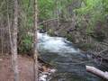 | 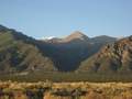 | 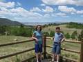 | 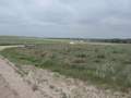 | 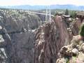 | 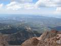 | 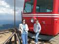 | 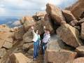 |
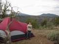
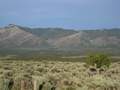
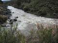
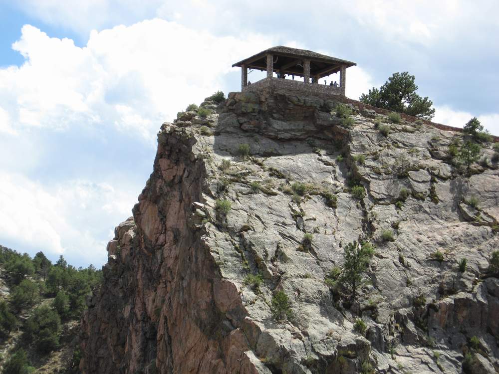
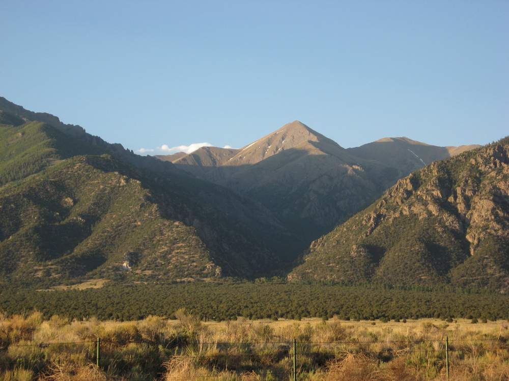
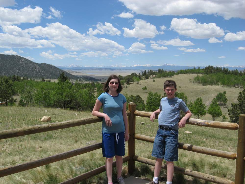
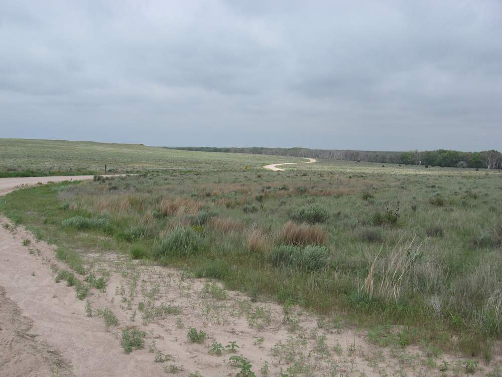
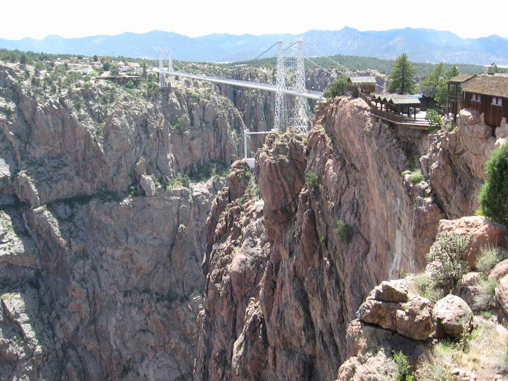
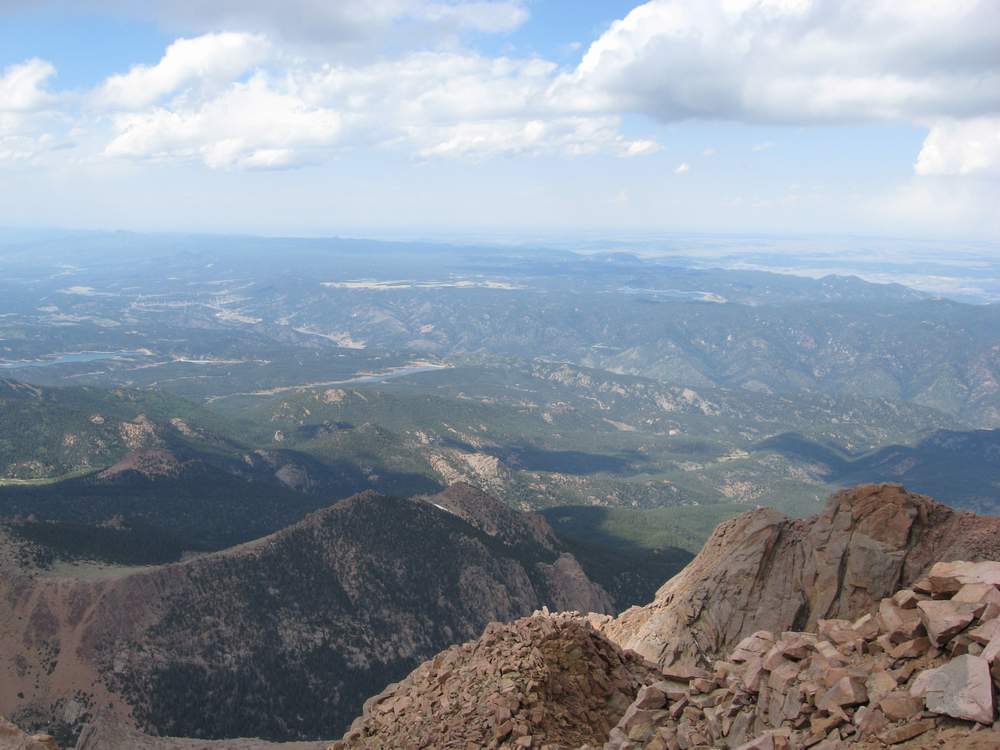
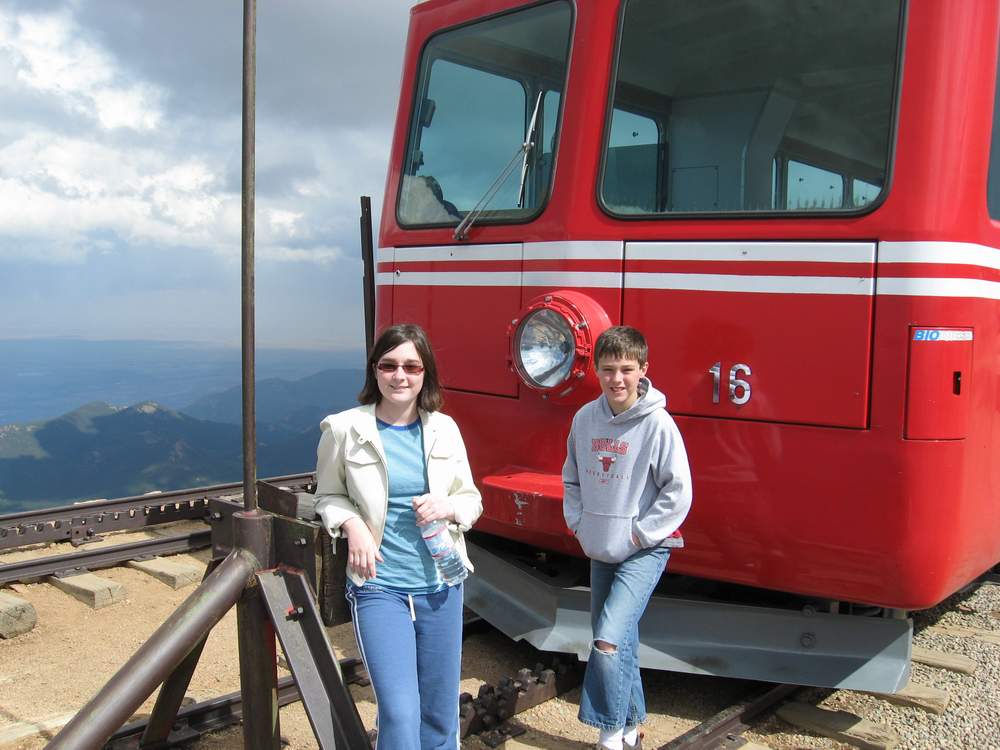
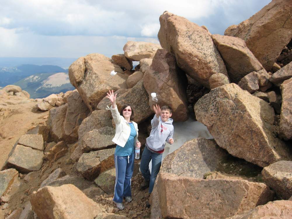
| Crestone, Colorado, June 2008. This awesome stream was just 20 feet from our tent. | Crestone campsite was deep inside this canyon. | Wilkerson Pass, Colorado. | Bonny State Park, eastern plains of Colorado. We had the entire park to ourselves! | Royal Gorge bridge. | The view from Pike's Peak. | The obligatory train ride to Pike's Peak. | Snowballs in June! |
 | 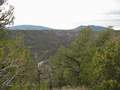 |  |  |  |  | 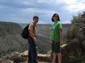 | 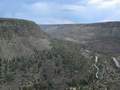 |
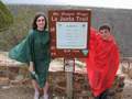
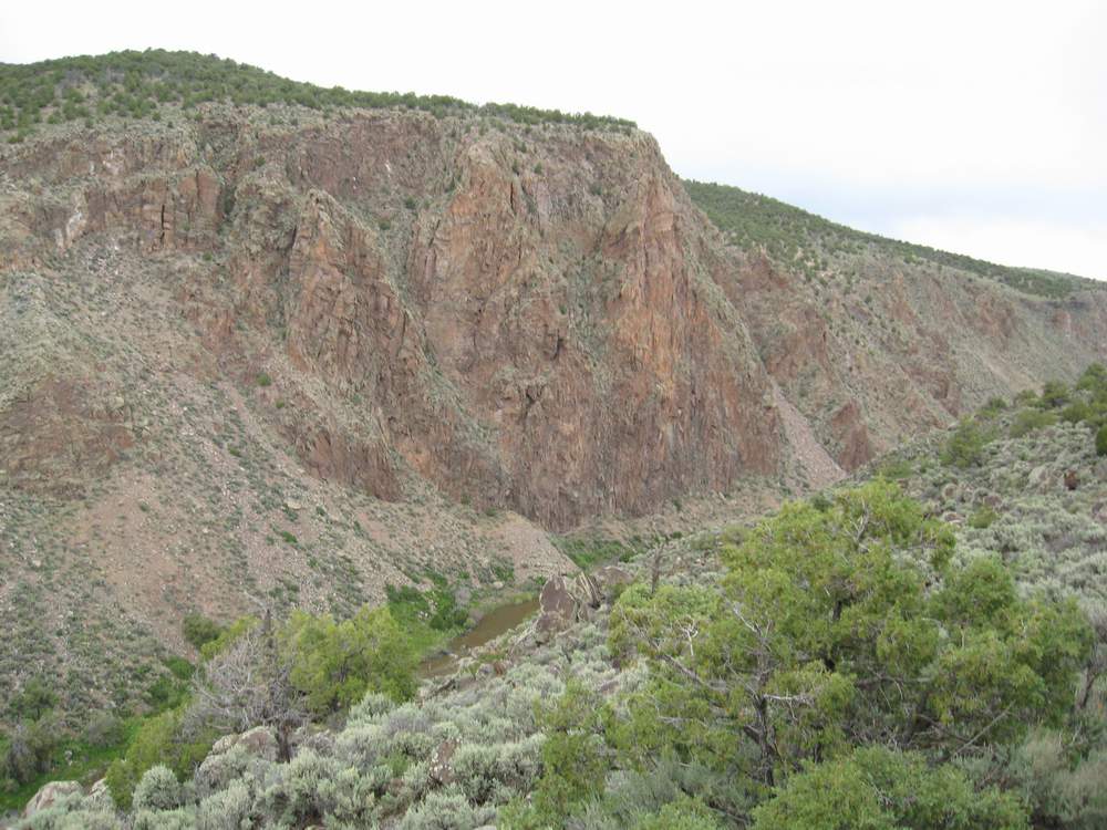
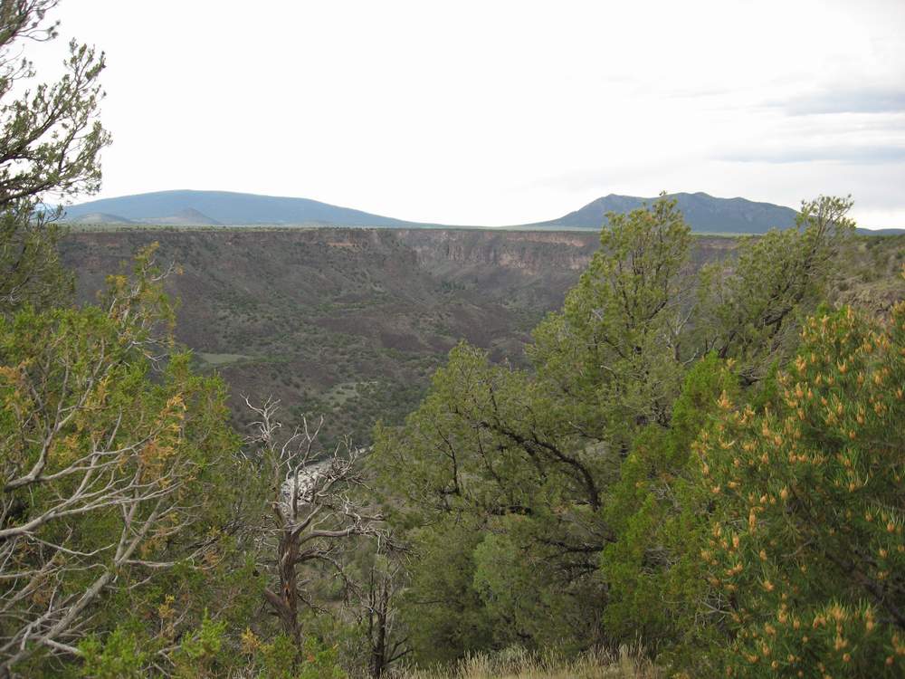
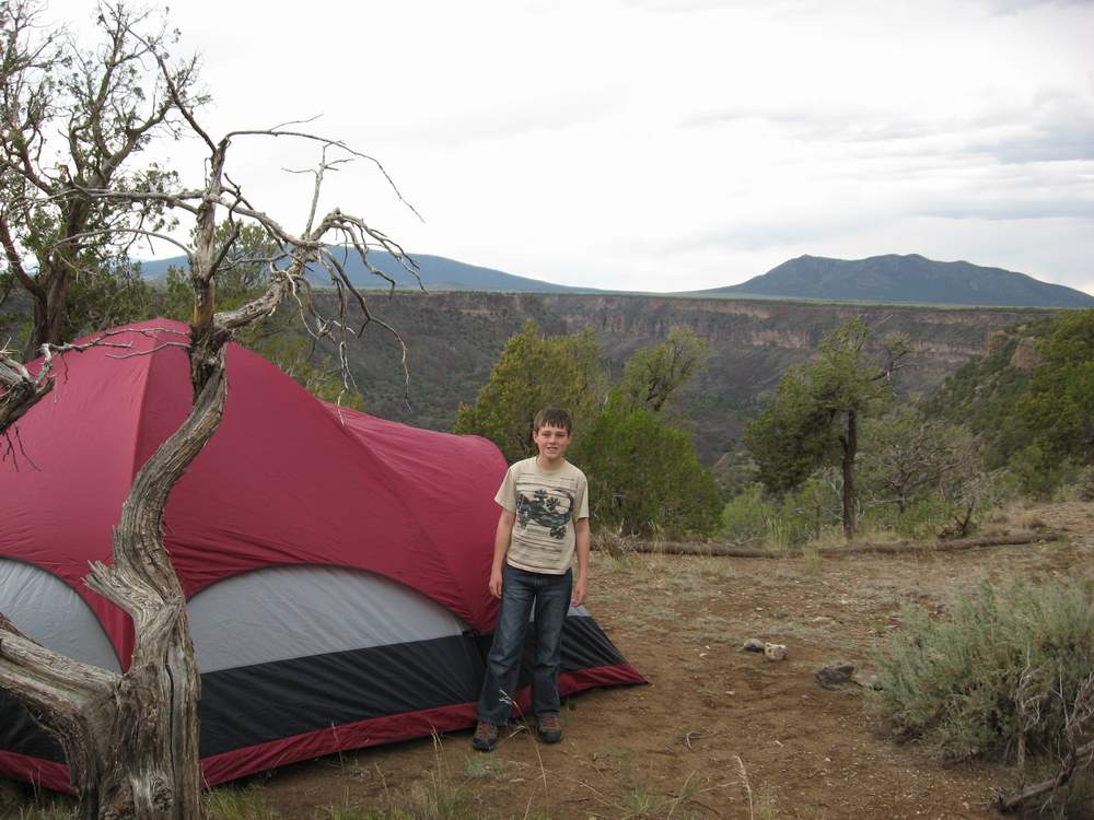
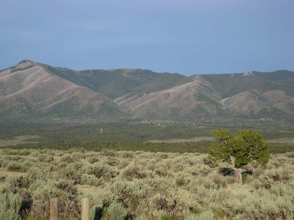
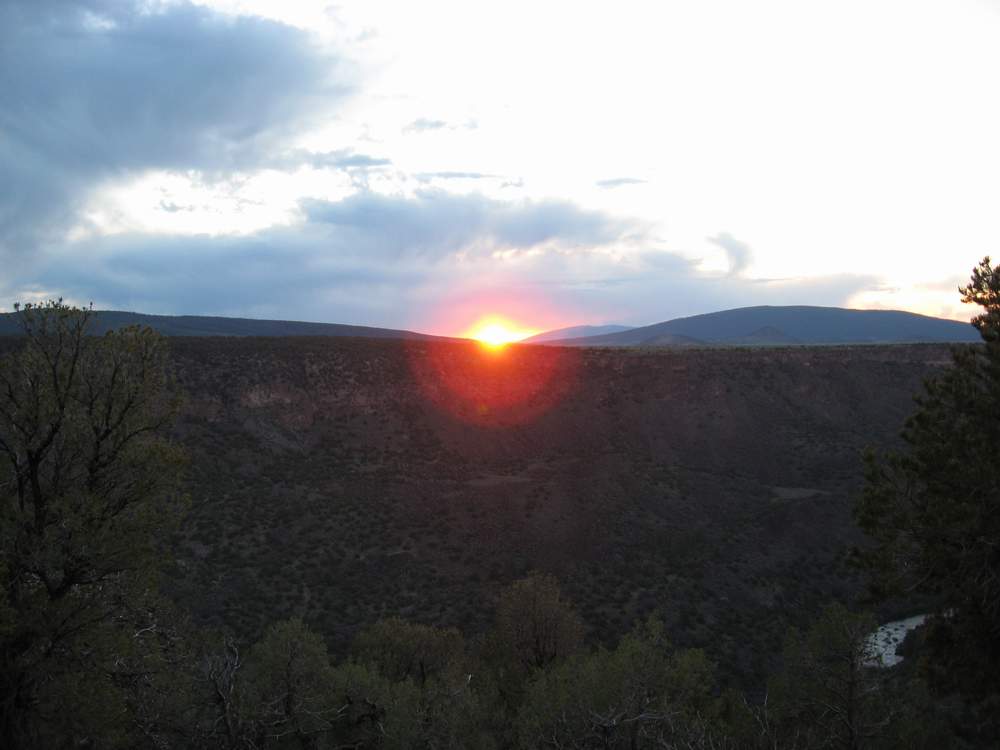
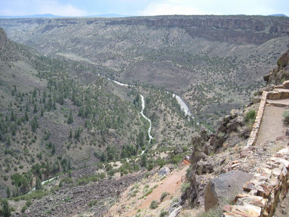
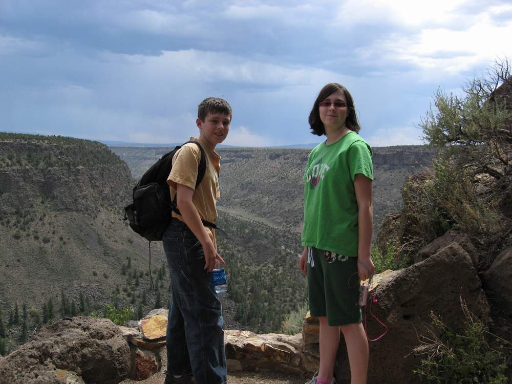
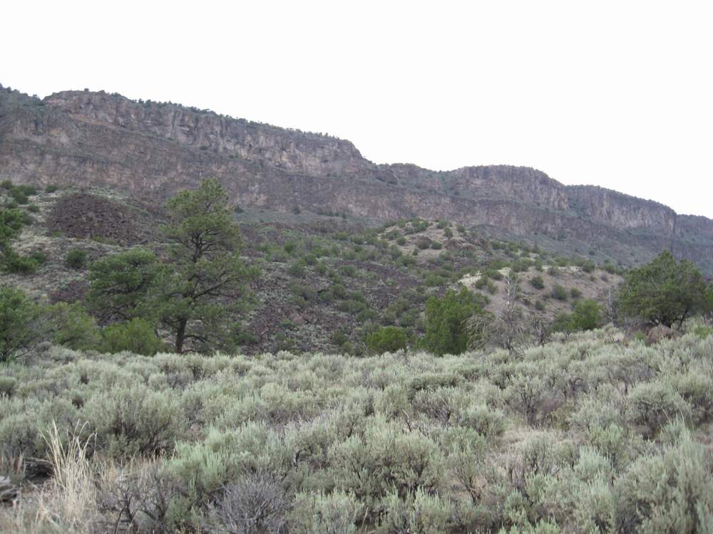
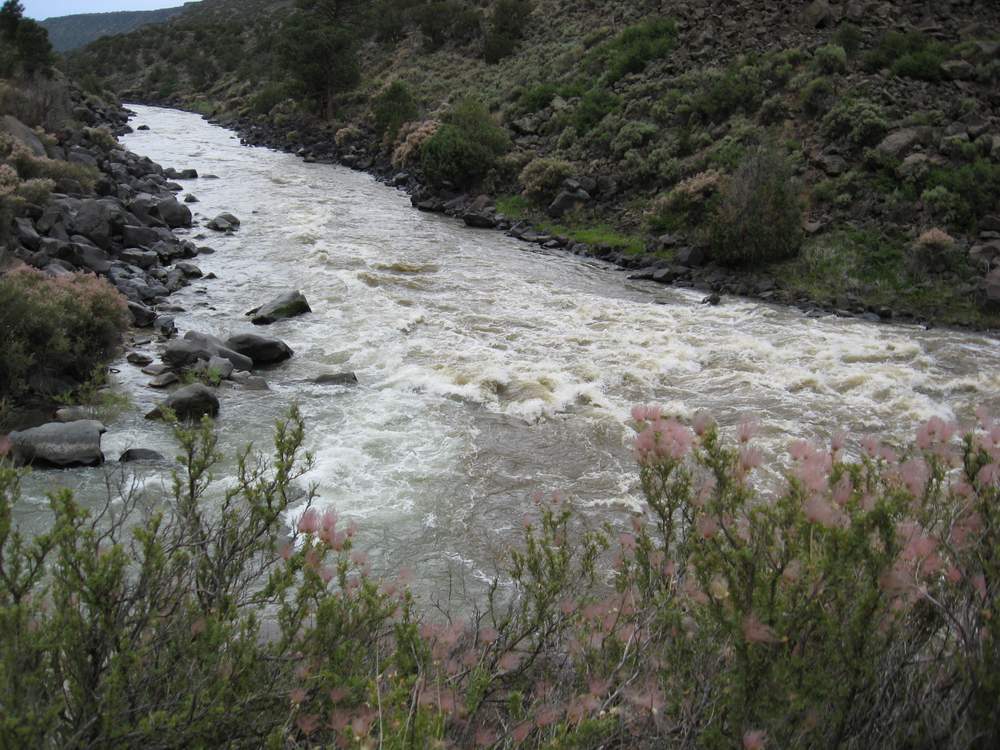
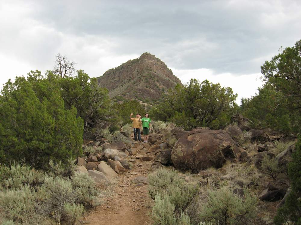
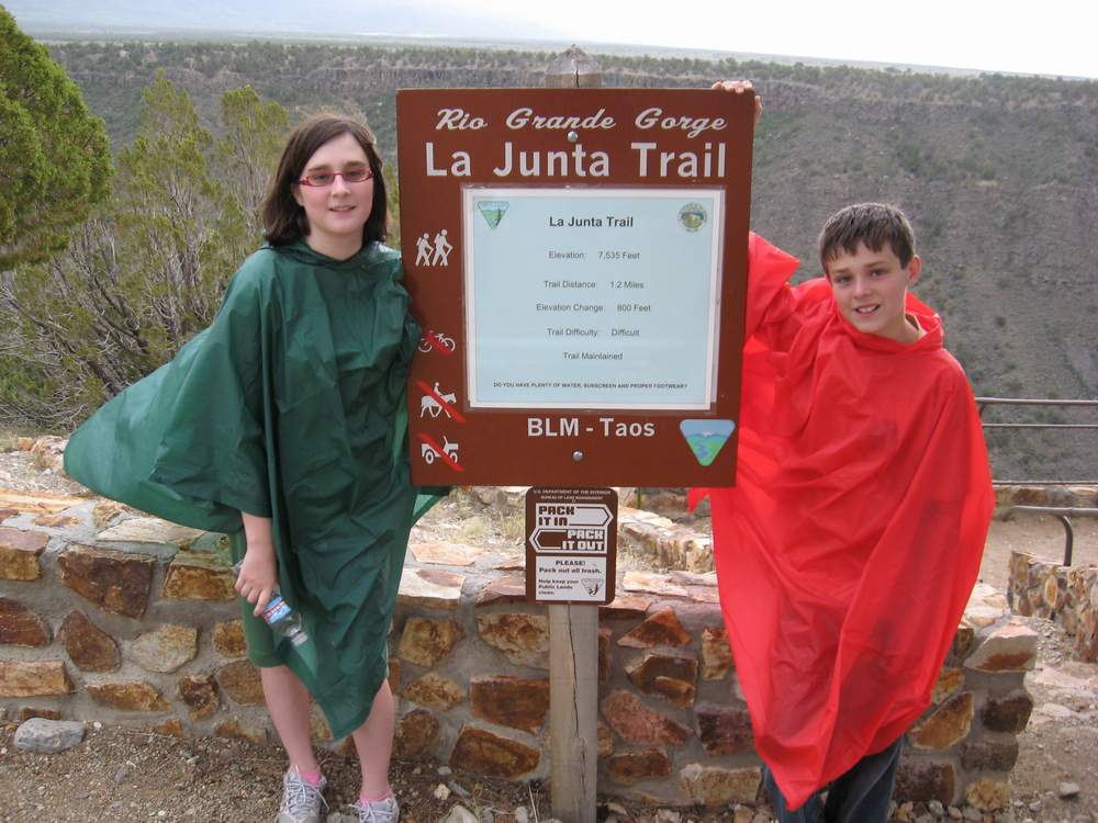
| Canyon cut by the Red River, at Wild Rivers Recreation Area near Taos, NM, June 2008. | View from our campsite at Wild Rivers. 800 ft descent just 15 ft from the tent! | Ours was one of only 3 occupied campsites in this entire HUGE park. Awesome. | This pic was taken 180 degrees from the previous shot. Can you be more isolated?! | Nothing but the distant sound of the river rapids. Until the coyotes started in! | La Junta trail - DIFFICULT 800 ft descent. We hiked to where the two rivers merge. | Water - check. iPod - check. Boy Scout with survival gear - check. | If you look closely, you can see the trail between the two rivers (Rio Grande, and Red River). |
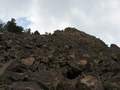 |  | 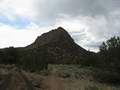 |  |  |  | 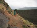 |  |
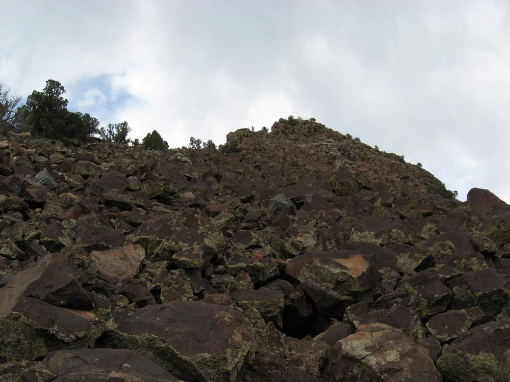
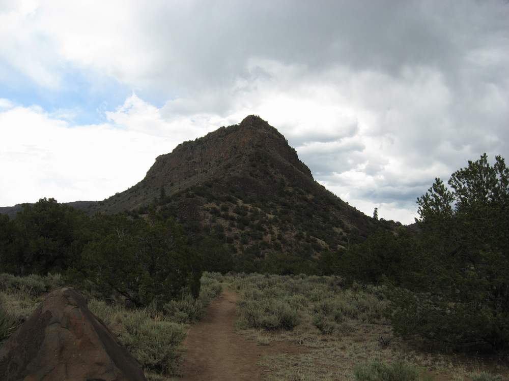
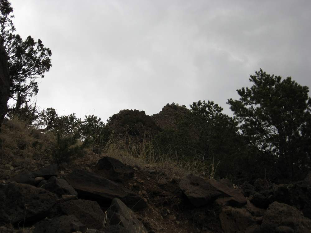
| Less than 1/3 of the way down. We started at the little outcropping at the top of the pic. | View from the bottom of the canyon. Yes, we started at the highest point! | From the trail between the rivers. What looks like a peak is a level outcropping; top part is where we started. | Confluence of the Rio Grande (left, behind bush) and Red River (right, larger). | Starting back up! What looks like a peak is actually all one level. Start point is at top of pic. | More than halfway there... and utterly exhausted. Starting to rain now. The Boy Scout brought rain gear. | 80% there, on the never-ending switchback trail. Cold. whiney, lots of rest stops. Kids, too. | Wow, we made it! Hardest hike we've ever done ... but beautiful. |


